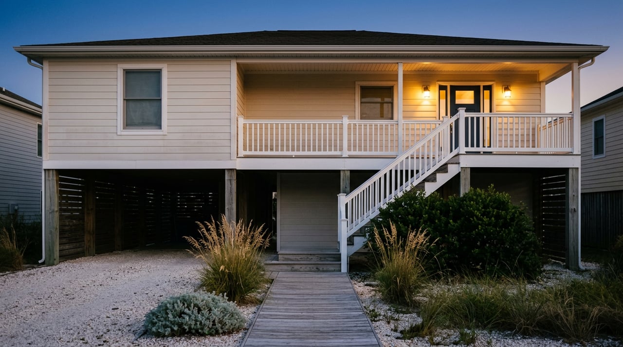
By 7:30 on an August evening, the beach road traffic has thinned to a crawl of minivans looking for parking they gave up on an hour ago. That is the Kill Devil Hills most people picture: Highway 12, the oceanfront cottages, a line of brake lights pointed toward the pier. It is not the Kill Devil Hills that residents actually move through once the day-trippers start packing coolers.
The town's real evening life runs a few blocks inland, along a loop that has almost nothing to do with the ocean. It starts on Bay Drive, cuts through a skatepark and a dog park, passes under the shadow of a hill where flight was invented, and ends on a pier deck built before half the beach road existed. None of it shows up on a postcard. All of it is where the town actually is.
The Bench With No Sign
Bay Drive runs along the sound side of town, and if you know to look for it, there's a wooden gazebo near Hayman Boulevard that functions as the closest thing Kill Devil Hills has to an official sunset bench. There's no plaque, no parking lot, no listing on a tourism map. People just know it faces the water at the right angle for the last hour of daylight, and locals have been treating it as the spot for long enough that it doesn't need a name to be found.
It matters that this is on the sound side, not the ocean side. Oceanfront sunsets on the Outer Banks belong to whoever's staying in the house that week. A sound sunset on Bay Drive belongs to whoever shows up.
What Happens at Aviation Park After the Beach Closes
A five-minute drive from Bay Drive, Aviation Park on Veterans Drive is where a big share of that after-dinner traffic actually lands. The town's own parks page lists what's there in one dense sentence: a fitness trail, a pond, Mary's Paws Park, a pavilion, a roller hockey rink, skateboard ramps, a children's play area, picnic tables, benches, swings, restrooms, and parking. In practice, that translates to a 6,000-square-foot skatepark that draws teenagers on boards and BMX bikes most evenings, a fenced dog park split into three separate yards for large dogs, small dogs, and senior dogs, and a paved loop around a small pond that regulars call the turtle pond because, well, there are turtles.
If you're weighing whether a neighborhood works for a dog, the specifics of that setup, hours, leash rules, and what the beach allows during summer, are covered in more depth in our guide to pet-friendly living in Kill Devil Hills. For tonight's purposes, the short version is enough: this is where a meaningful chunk of the town's population ends up between six and eight on a warm evening, and none of it required a trip toward the water.
Here's the loop in the order most people actually run it:
- Bay Drive gazebo — sunset, no parking lot, arrive before the light goes flat
- Aviation Park — skatepark, three-yard dog park, pond loop, best right after dinner
- First Flight Airport — small-plane landings at dusk, free to watch
- Avalon Pier — second-story bar deck, milepost 6, good for closing out the night
Twelve Seconds, Fifty-Nine Seconds, and a Landing Strip With No Ticket Booth
The hill at the center of that loop is Big Kill Devil Hill, topped by the granite monument marking where Wilbur and Orville Wright flew four times on December 17, 1903. The first flight covered 120 feet in 12 seconds. The fourth, the same afternoon, covered 852 feet in 59 seconds, nearly seven times the distance in five times the duration. That jump between the first and last flight of a single day is the kind of detail that gets flattened into "the Wright Brothers flew here" on most tourist copy, but it's the actual story: they didn't get it right once and stop. They got measurably better within the hour.
What most visitors don't know is that the National Park Service airstrip sitting right beside the monument still hosts small planes today, and pilots land a short walk from the granite markers with no ticket booth involved. Locals treat dusk landings there the way other towns treat a train platform: something to watch because it's happening, not because you planned around it. This year, that habit gets a formal excuse. The National Park Service marks National Aviation Day at the Wright Brothers National Memorial on August 19, the same hill the joggers on the Aviation Park fitness trail can see over their shoulder on a clear evening.
The Pier Built Before Most of the Beach Road
From the airport, the loop closes at Avalon Pier, at milepost 6 on the oceanfront. It's a classic 1958 pier with a bait shop, an arcade, and something no other pier on the Outer Banks has: a second-story bar deck. Every other fishing pier in the region keeps its bar at ground level or skips one entirely. Avalon put it upstairs, which means the same railing that anglers lean on during the day becomes the best unobstructed ocean view in town after dark, with a drink in hand and no sand to deal with.
It's also the site the Town of Kill Devil Hills uses for its Independence Day fireworks each summer, which tells you something about how the town itself thinks about the pier: not just as a place to fish, but as the one spot built to hold a crowd looking at the water on purpose.
The Newest Stop Isn't on the Beach Road at All
If the loop needed proof that it still reflects where the town is actually growing, it arrived in April 2026. Coastal Consignment Boutique, a sustainable women's fashion and consignment shop founded by longtime locals Karyl Rhodes and Mary Phelan Toohey, opened its first brick-and-mortar location at 1001 S. Croatan Highway, after more than a year of pop-up sales around the area. The new space includes a collaboration with Fresh Design Co., the refinished-furniture and home décor line run by local stylist Kallie Winter.
Notice where that address sits. Croatan Highway is the Bypass, the working road residents use for errands, not the Beach Road strip tourists picture when they think of Kill Devil Hills. A brand-new, locally founded storefront chose the spine of the town over the postcard version of it, which is exactly the pattern the rest of this loop has been showing for years.
The Map Locals Actually Use
Line these stops up and a pattern falls out that the tourist map never shows. The sunset bench is on the sound side. The dog park and skatepark sit inland on Veterans Drive. The airstrip is tucked behind the monument, away from the highway. The one pier feature that makes Kill Devil Hills different from every other town on the beach road is a bar deck built one story up, off the sand. And the newest local business chose the Bypass over the oceanfront strip entirely.
None of it is hidden. It's just not where the postcard points. If you already run some version of this loop, you already know why people who move here tend to stay, and if you have friends asking what Kill Devil Hills is actually like day to day, this is closer to the real answer than anything on a rental listing.
If that curiosity turns into something more, whether you're weighing a move to this stretch of the Outer Banks or just want a local's read on what a specific street or neighborhood is like to live on, Jessica Evans at Luxury Realty Outer Banks has spent years learning these small distinctions block by block. Schedule a consultation whenever you're ready to talk specifics.